
Kelvedon Hatch topographic map
Interactive map
Click on the map to display elevation.
About this map
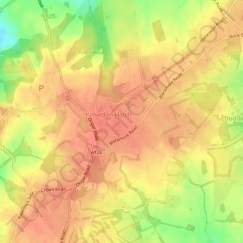
Name: Kelvedon Hatch topographic map, elevation, terrain.
Location: Kelvedon Hatch, Essex, East of England, England, United Kingdom (51.66166 0.26704 51.66880 0.28440)
Average elevation: 93 m
Minimum elevation: 58 m
Maximum elevation: 107 m