
Baye topographic map
Interactive map
Click on the map to display elevation.
About this map
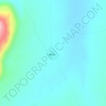
Name: Baye topographic map, elevation, terrain.
Location: Baye, Cercle de Kéniéba, Kayes, Mali (12.82792 -11.01962 12.83157 -11.01619)
Average elevation: 358 m
Minimum elevation: 326 m
Maximum elevation: 528 m