
Booral topographic map
Interactive map
Click on the map to display elevation.
About this map
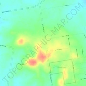
Name: Booral topographic map, elevation, terrain.
Location: Booral, Hervey Bay, Queensland, Australia (-25.36389 152.88000 -25.34389 152.90000)
Average elevation: 27 m
Minimum elevation: 5 m
Maximum elevation: 62 m
Other topographic maps
Click on a map to view its topography, its elevation and its terrain.
Black Swamp Creek
Australia > Queensland > Hervey Bay
Black Swamp Creek, Walligan, Hervey Bay, Fraser Coast Regional, Queensland, Australia
Average elevation: 16 m
Great Sandy National Park
Australia > Queensland > Hervey Bay
Great Sandy National Park, Bundaberg Region, Queensland, Australia
Average elevation: 32 m