
Schmidgaden topographic map
Interactive map
Click on the map to display elevation.
About this map
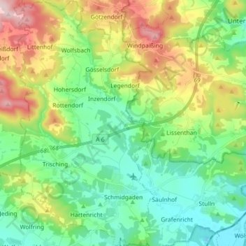
Name: Schmidgaden topographic map, elevation, terrain.
Location: Schmidgaden, Landkreis Schwandorf, Bayern, 92546, Deutschland (49.40370 12.03041 49.49513 12.11065)
Average elevation: 450 m
Minimum elevation: 357 m
Maximum elevation: 644 m