
Nieuwaal topographic map
Interactive map
Click on the map to display elevation.
About this map
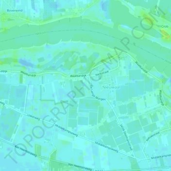
Name: Nieuwaal topographic map, elevation, terrain.
Location: Nieuwaal, Zaltbommel, Gelderland, Nederland (51.79804 5.14813 51.81703 5.19512)
Average elevation: 3 m
Minimum elevation: -7 m
Maximum elevation: 12 m
Other topographic maps
Click on a map to view its topography, its elevation and its terrain.
Poederoijen
Nederland > Gelderland > Zaltbommel
Poederoijen, Zaltbommel, Gelderland, Nederland
Average elevation: 2 m
Kerkwijk
Nederland > Gelderland > Zaltbommel
Kerkwijk, Zaltbommel, Gelderland, Nederland
Average elevation: 3 m
Kasteel Nederhemert
Nederland > Gelderland > Zaltbommel
Kasteel Nederhemert, Moffendijk, Nederhemert, Zaltbommel, Gelderland, Nederland, 5317KV, Nederland
Average elevation: 3 m