
Le Montoire topographic map
Interactive map
Click on the map to display elevation.
About this map
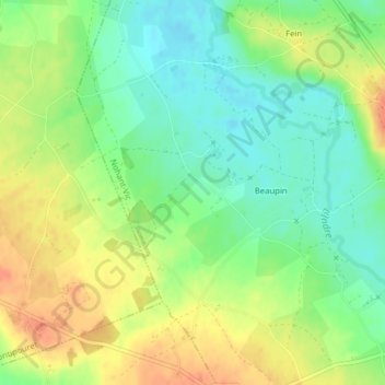
Name: Le Montoire topographic map, elevation, terrain.
Average elevation: 200 m
Minimum elevation: 179 m
Maximum elevation: 224 m
Other topographic maps
Click on a map to view its topography, its elevation and its terrain.
Château d'Ars
France > Centre-Val de Loire > Nohant-Vic
Château d'Ars, D 943, Les Murailles, La Chicoterie, Nohant-Vic, La Châtre, Indre, Centre-Val de Loire, France métropolitaine, 36400, France
Average elevation: 219 m