Geolocate

Chartershall topographic map

Click on the map to display elevation.

About this map

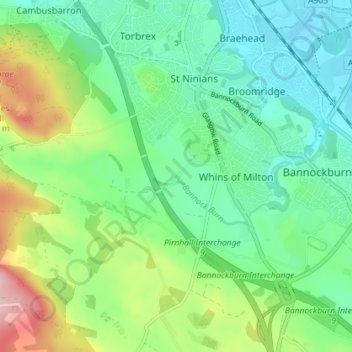
Name: Chartershall topographic map, elevation, terrain.

Location: Chartershall, Stirling, Scotland, FK7 8HF, United Kingdom (56.07037 -3.96191 56.11037 -3.92191)

Average elevation: 65 m

Minimum elevation: 8 m

Maximum elevation: 196 m

Stirling trails, hiking, mountain biking, running and outdoor activities

Other topographic maps

Click on a map to view its topography, its elevation and its terrain.

Abbey Craig

United Kingdom > Scotland > Stirling > Stirling

Average elevation: 16 m

Gear up for your next adventure:

🔋Lithium AA Batteries - Long-lasting power that performs well in cold mountain weather
🥾Walking Shoes - Lightweight walking shoes for countryside and coastal paths
📚UK Hiking Guidebooks - Detailed route descriptions for the Lake District, Peaks, and Highlands
🔋Power Banks - Portable chargers for long outdoor trips
🧼Camping Hygiene Kits - Compact hygiene essentials for outdoor stays

As an Amazon Associate, this site earns from qualifying purchases at no extra cost to you.