
Vega topographic map
Interactive map
Click on the map to display elevation.
About this map
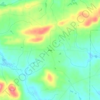
Name: Vega topographic map, elevation, terrain.
Location: Vega, Pike County, Georgia, 30256, Estados Unidos de América (33.00346 -84.30853 33.04346 -84.26853)
Average elevation: 251 m
Minimum elevation: 214 m
Maximum elevation: 319 m