
Chrishall topographic map
Interactive map
Click on the map to display elevation.
About this map
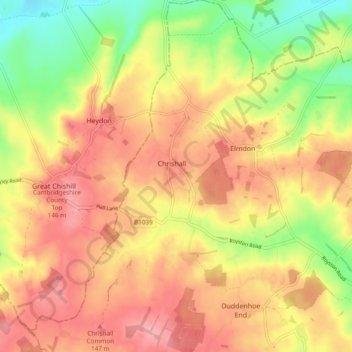
Name: Chrishall topographic map, elevation, terrain.
Location: Chrishall, Uttlesford, Essex, England, United Kingdom (52.00227 0.07766 52.06059 0.12830)
Average elevation: 110 m
Minimum elevation: 49 m
Maximum elevation: 153 m
England trails, hiking, mountain biking, running and outdoor activities
Other topographic maps
Click on a map to view its topography, its elevation and its terrain.