
Lawrenceville topographic map
Interactive map
Click on the map to display elevation.
About this map
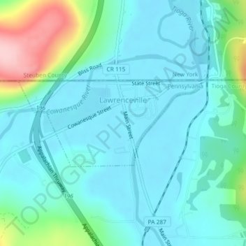
Name: Lawrenceville topographic map, elevation, terrain.
Location: Lawrenceville, Tioga County, Pennsylvania, 16929, USA (41.99027 -77.14161 41.99977 -77.11457)
Average elevation: 334 m
Minimum elevation: 297 m
Maximum elevation: 487 m