
Sewenseeli 1689m topographic map
Interactive map
Click on the map to display elevation.
About this map
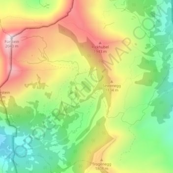
Name: Sewenseeli 1689m topographic map, elevation, terrain.
Location: Sewenseeli 1689m, Ober Sewen, Sarnen, Obwalden, Schweiz (46.88707 8.08559 46.88894 8.08790)
Average elevation: 1,700 m
Minimum elevation: 1,425 m
Maximum elevation: 2,030 m
Other topographic maps
Click on a map to view its topography, its elevation and its terrain.