
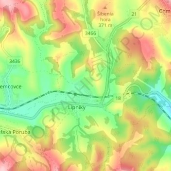
Lipníky - Taľka topographic map
Interactive map
Click on the map to display elevation.
About this map
Name: Lipníky - Taľka topographic map, elevation, terrain.
Average elevation: 332 m
Minimum elevation: 254 m
Maximum elevation: 422 m
Other topographic maps
Click on a map to view its topography, its elevation and its terrain.
Lipníky
Slovakia > Region of Prešov > District of Prešov > Lipníky
Lipníky, District of Prešov, Region of Prešov, Eastern Slovakia, Slovakia
Average elevation: 325 m