
地内島 topographic map
Interactive map
Click on the map to display elevation.
About this map
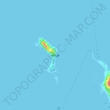
Name: 地内島 topographic map, elevation, terrain.
Location: 地内島, 新島村, 大島支庁, 東京都, 日本 (34.36705 139.22355 34.37577 139.22948)
Average elevation: 1 m
Minimum elevation: 0 m
Maximum elevation: 62 m
Other topographic maps
Click on a map to view its topography, its elevation and its terrain.