
Costacabana topographic map
Interactive map
Click on the map to display elevation.
About this map
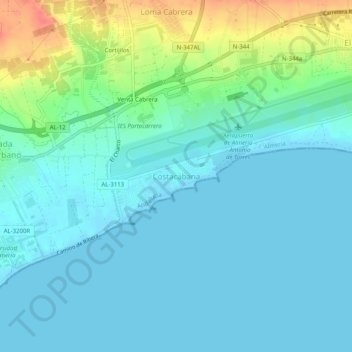
Name: Costacabana topographic map, elevation, terrain.
Location: Costacabana, Almería, Andalucía, 04120, España (36.81837 -2.40078 36.85837 -2.36078)
Average elevation: 13 m
Minimum elevation: -2 m
Maximum elevation: 58 m
Other topographic maps
Click on a map to view its topography, its elevation and its terrain.