
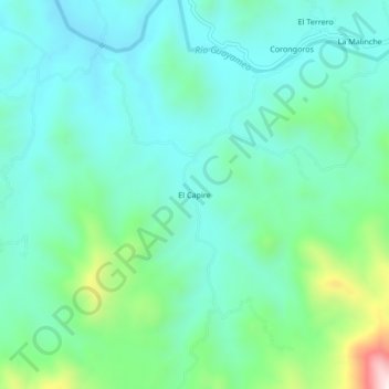
El Capire topographic map
Interactive map
Click on the map to display elevation.
About this map
Name: El Capire topographic map, elevation, terrain.
Location: El Capire, Zirándaro, Guerrero, México (18.37343 -101.40443 18.41343 -101.36443)
Average elevation: 422 m
Minimum elevation: 294 m
Maximum elevation: 879 m