Geolocate

Nyandehun topographic map

Interactive map

Click on the map to display elevation.

About this map

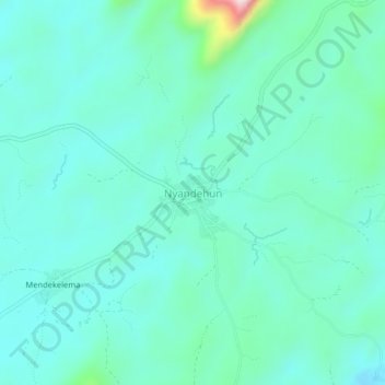
Name: Nyandehun topographic map, elevation, terrain.

Location: Nyandehun, Kailahun District, Eastern Province, Sierra Leone (8.18417 -10.50172 8.22417 -10.46172)

Average elevation: 349 m

Minimum elevation: 282 m

Maximum elevation: 677 m

Other topographic maps

Click on a map to view its topography, its elevation and its terrain.

Takpoima

Sierra Leone > Eastern Province > Baoma

Takpoima, Baoma, Kailahun District, Eastern Province, Sierra Leone

Average elevation: 223 m

Moa River

Sierra Leone > Eastern Province > Gokodu

Moa River, Gokodu, Kailahun District, Eastern Province, 2327, Sierra Leone

Average elevation: 352 m

Pujehun

Sierra Leone > Eastern Province > Pujehun

Pujehun, Kenema District, Eastern Province, Sierra Leone

Average elevation: 406 m