
Wasand Pur topographic map
Interactive map
Click on the map to display elevation.
About this map
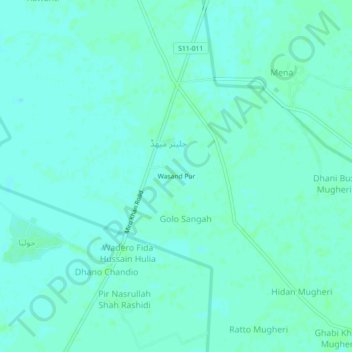
Name: Wasand Pur topographic map, elevation, terrain.
Location: Wasand Pur, Jalter Mihadh, Sindh, Pakistan (27.64085 68.02889 27.68085 68.06889)
Average elevation: 50 m
Minimum elevation: 47 m
Maximum elevation: 52 m