Geolocate

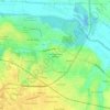
Greenville topographic map

Click on the map to display elevation.

About this map
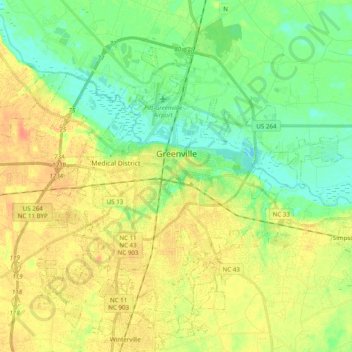
Name: Greenville topographic map, elevation, terrain.

Location: Greenville, Pitt County, North Carolina, United States (35.52978 -77.47527 35.67605 -77.27931)

Average elevation: 16 m

Minimum elevation: -3 m

Maximum elevation: 33 m

Other topographic maps

Click on a map to view its topography, its elevation and its terrain.
Staton

United States > North Carolina > Pitt County

Average elevation: 12 m

Twin Creek

United States > North Carolina > Pitt County

Average elevation: 16 m

Stokes

United States > North Carolina > Pitt County

Average elevation: 15 m

Higgs

United States > North Carolina > Pitt County > Greenville

Average elevation: 15 m

Higgs

United States > North Carolina > Pitt County > Greenville

Average elevation: 15 m

Gear up for your next adventure:

❄️Walking Crampons - Added traction for icy slopes and winter peak bagging
📢Survival Whistles - Essential safety gear for signaling for help in mountain fog
🧷Tenacious Repair Tape - Instant fix for torn tents, jackets, or dry bags
🔭Compact Hiking Binoculars - Lightweight optics for scouting terrain and spotting wildlife
🧥Waterproof Hiking Jackets - Rain protection for walking in all weather conditions

As an Amazon Associate, this site earns from qualifying purchases at no extra cost to you.