
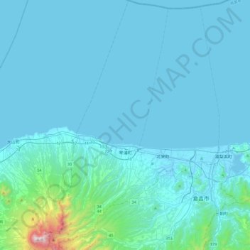
琴浦町 topographic map
Interactive map
Click on the map to display elevation.
About this map
Name: 琴浦町 topographic map, elevation, terrain.
Location: 琴浦町, 東伯郡, 鸟取县, 日本 (35.35510 133.55894 35.71198 133.76781)
Average elevation: 106 m
Minimum elevation: -5 m
Maximum elevation: 1,698 m