
Degolia topographic map
Interactive map
Click on the map to display elevation.
About this map
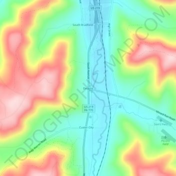
Name: Degolia topographic map, elevation, terrain.
Average elevation: 545 m
Minimum elevation: 442 m
Maximum elevation: 692 m
Other topographic maps
Click on a map to view its topography, its elevation and its terrain.
Hazelton Mills
United States > Pennsylvania > McKean County > Bradford Township
Hazelton Mills, Bradford Township, McKean County, Pennsylvania, United States
Average elevation: 598 m