
Wandel topographic map
Interactive map
Click on the map to display elevation.
About this map
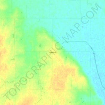
Name: Wandel topographic map, elevation, terrain.
Location: Wandel, Kingfisher County, Oklahoma, United States (35.86504 -97.76560 35.90504 -97.72560)
Average elevation: 307 m
Minimum elevation: 294 m
Maximum elevation: 323 m
Other topographic maps
Click on a map to view its topography, its elevation and its terrain.