
Oreton topographic map
Interactive map
Click on the map to display elevation.
About this map
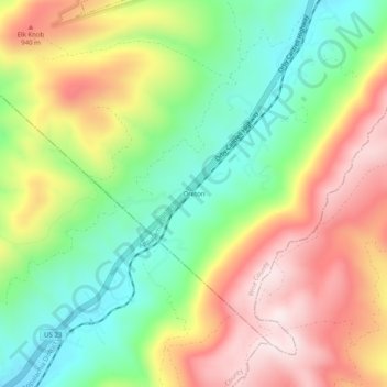
Name: Oreton topographic map, elevation, terrain.
Location: Oreton, Wise County, Virginia, United States (36.79565 -82.80155 36.83565 -82.76155)
Average elevation: 758 m
Minimum elevation: 519 m
Maximum elevation: 1,043 m