
Niedomice topographic map
Interactive map
Click on the map to display elevation.
About this map
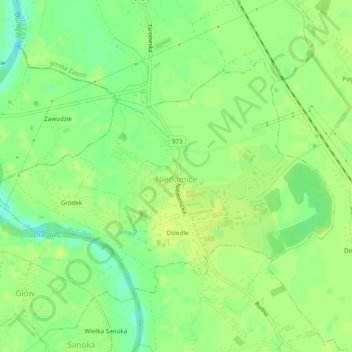
Name: Niedomice topographic map, elevation, terrain.
Average elevation: 184 m
Minimum elevation: 173 m
Maximum elevation: 188 m
Other topographic maps
Click on a map to view its topography, its elevation and its terrain.
Podkościele
Poland > Lesser Poland Voivodeship > Tarnów County > Wola Rzędzińska
Podkościele, Wola Rzędzińska, gmina Tarnów, Tarnów County, Lesser Poland Voivodeship, 33-150, Poland
Average elevation: 240 m
Żary
Poland > Lesser Poland Voivodeship > Tarnów County > Siedliska
Żary, Siedliska, gmina Tuchów, Tarnów County, Lesser Poland Voivodeship, 33-172, Poland
Average elevation: 274 m