
New Grove topographic map
Interactive map
Click on the map to display elevation.
About this map
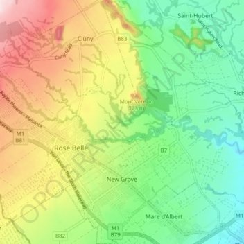
Name: New Grove topographic map, elevation, terrain.
Location: New Grove, Grand Port, Mauritius (-20.43165 57.60042 -20.35920 57.67257)
Average elevation: 230 m
Minimum elevation: 82 m
Maximum elevation: 457 m
Other topographic maps
Click on a map to view its topography, its elevation and its terrain.