
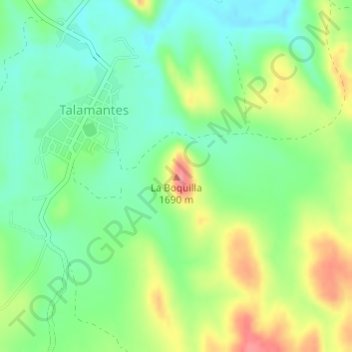
La Boquilla topographic map
Interactive map
Click on the map to display elevation.
About this map
Name: La Boquilla topographic map, elevation, terrain.
Location: La Boquilla, Talamantes, Allende, Chihuahua, 33920, México (26.90685 -105.42951 26.90695 -105.42941)
Average elevation: 1,645 m
Minimum elevation: 1,611 m
Maximum elevation: 1,699 m