
Little Big Horn topographic map
Interactive map
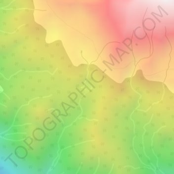
Click on the map to display elevation.
About this map
Name: Little Big Horn topographic map, elevation, terrain.
Average elevation: 1,986 m
Minimum elevation: 1,267 m
Maximum elevation: 2,620 m
Other topographic maps
Click on a map to view its topography, its elevation and its terrain.
Spruce Lake
Canada > British Columbia > Squamish-Lillooet Regional District > Area A (Upper Bridge River Valley)
Average elevation: 1,688 m
Slim Mountain
Canada > British Columbia > Squamish-Lillooet Regional District > Area A (Upper Bridge River Valley)
Average elevation: 2,152 m
Gun Lake
Canada > British Columbia > Squamish-Lillooet Regional District > Area A (Upper Bridge River Valley)
Average elevation: 1,049 m