
Kabagali topographic map
Interactive map
Click on the map to display elevation.
About this map
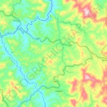
Name: Kabagali topographic map, elevation, terrain.
Location: Kabagali, Ruhango, Southern Province, Rwanda (-2.26338 29.56131 -2.18147 29.66346)
Average elevation: 1,685 m
Minimum elevation: 1,505 m
Maximum elevation: 2,013 m