
The Racecourse topographic map
Interactive map
Click on the map to display elevation.
About this map
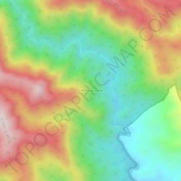
Name: The Racecourse topographic map, elevation, terrain.
Location: The Racecourse, Walcha Council, New South Wales, Australia (-31.59333 151.61444 -31.55333 151.65444)
Average elevation: 595 m
Minimum elevation: 283 m
Maximum elevation: 1,008 m