
Dutch Hill topographic map
Interactive map
Click on the map to display elevation.
About this map
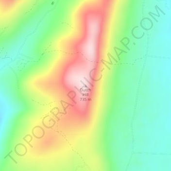
Name: Dutch Hill topographic map, elevation, terrain.
Location: Dutch Hill, Danby, Rutland County, Vermont, United States (43.38141 -73.06766 43.38151 -73.06756)
Average elevation: 528 m
Minimum elevation: 389 m
Maximum elevation: 731 m