
Hawkinge topographic map
Interactive map
Click on the map to display elevation.
About this map
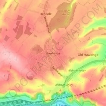
Name: Hawkinge topographic map, elevation, terrain.
Location: Hawkinge, Kent, South East, England, CT18 7BS, United Kingdom (51.09544 1.14375 51.13544 1.18375)
Average elevation: 139 m
Minimum elevation: 41 m
Maximum elevation: 189 m