
Dulbining Lake topographic map
Interactive map
Click on the map to display elevation.
About this map
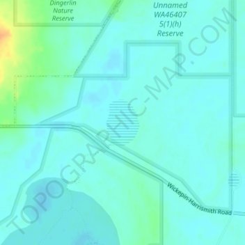
Name: Dulbining Lake topographic map, elevation, terrain.
Average elevation: 305 m
Minimum elevation: 298 m
Maximum elevation: 331 m
Other topographic maps
Click on a map to view its topography, its elevation and its terrain.
Toolibin Lake
Australia > Western Australia > Harrismith
Toolibin Lake, Wickepin-Harrismith Road, Harrismith, Western Australia, Australia
Average elevation: 303 m