
Farragut topographic map
Interactive map
Click on the map to display elevation.
About this map
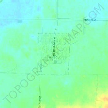
Name: Farragut topographic map, elevation, terrain.
Location: Farragut, Fremont County, Iowa, 51639, United States (40.71478 -95.48631 40.72518 -95.47329)
Average elevation: 292 m
Minimum elevation: 283 m
Maximum elevation: 311 m