
Zaitzkofen topographic map
Interactive map
Click on the map to display elevation.
About this map
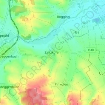
Name: Zaitzkofen topographic map, elevation, terrain.
Average elevation: 385 m
Minimum elevation: 352 m
Maximum elevation: 443 m
Other topographic maps
Click on a map to view its topography, its elevation and its terrain.
Pielenhofen
Duitsland > Beieren > Landkreis Regensburg > Pielenhofen
Pielenhofen, Pielenhofen-Wolfsegg (VGem), Landkreis Regensburg, Beieren, 93188, Duitsland
Average elevation: 439 m