
Sena topographic map
Interactive map
Click on the map to display elevation.
About this map
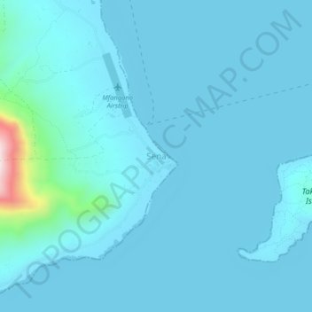
Name: Sena topographic map, elevation, terrain.
Location: Sena, Mfangano Island ward, Mbita, Homa Bay County, Kenya (-0.49166 34.04740 -0.45166 34.08740)
Average elevation: 1,168 m
Minimum elevation: 1,132 m
Maximum elevation: 1,634 m
Other topographic maps
Click on a map to view its topography, its elevation and its terrain.
Takawiri Island
Kenya > Homa Bay County > Mbita > Mfangano Island ward > Sena
Average elevation: 1,139 m