
Foreke-Chacha topographic map
Interactive map
Click on the map to display elevation.
About this map
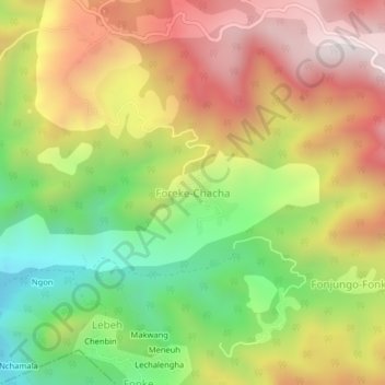
Name: Foreke-Chacha topographic map, elevation, terrain.
Location: Foreke-Chacha, Menji, Lebialem, Sud-Ouest, Cameroun (5.38507 9.86013 5.42507 9.90013)
Average elevation: 1,067 m
Minimum elevation: 570 m
Maximum elevation: 1,572 m