
Panduku topographic map
Interactive map
Click on the map to display elevation.
About this map
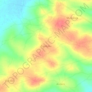
Name: Panduku topographic map, elevation, terrain.
Location: Panduku, Pawor, Madi Okollo, Northern Region, Uganda (2.77846 31.28072 2.81846 31.32072)
Average elevation: 672 m
Minimum elevation: 639 m
Maximum elevation: 699 m