
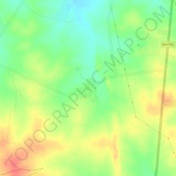
Thummaloor topographic map
Interactive map
Click on the map to display elevation.
About this map
Name: Thummaloor topographic map, elevation, terrain.
Location: Thummaloor, Rangareddy, Telangana, India (17.10828 78.43944 17.14828 78.47944)
Average elevation: 642 m
Minimum elevation: 615 m
Maximum elevation: 671 m