Geolocate

Collinsvale topographic map

Click on the map to display elevation.

About this map

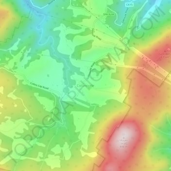
Name: Collinsvale topographic map, elevation, terrain.

Location: Collinsvale, Tasmania, 7012, Australia (-42.86053 147.17739 -42.82053 147.21739)

Average elevation: 430 m

Minimum elevation: 173 m

Maximum elevation: 795 m

Gear up for your next adventure:

👕Technical Hiking Tees - Moisture-management for high-exertion climbs
🎒Hiking Child Carriers - Explore the outdoors with the whole family safely
Lightweight Solo Tents - Backpacking tents designed for wild camping in the UK highlands
🛑Emergency Bivvy Bags - Heat-reflective survival bags for unexpected nights out
🌦️Portable Weather Meters - Handheld tools for monitoring weather conditions

As an Amazon Associate, this site earns from qualifying purchases at no extra cost to you.