Adams topographic map
Click on the map to display elevation.
Adams
The shield was derived from the Provincial Seal of Ilocos Norte. The mountain range and the verdant field and river show the topography of the place as a potential source of wealth and livelihood. The mountain ranges also symbolizes the lofty ideals and the high hopes of the people for making Adams a progressive and attractive place to live in.
About this map
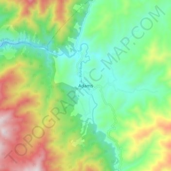
Name: Adams topographic map, elevation, terrain.
Location: Adams, Ilocos Norte, Ilocos Region, 2922, Philippines (18.42131 120.86357 18.50131 120.94357)
Average elevation: 517 m
Minimum elevation: 153 m
Maximum elevation: 1,185 m
Other topographic maps
Click on a map to view its topography, its elevation and its terrain.
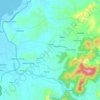
Pagudpud
The town's topography includes mountains, hills, valleys and flat coastal land.
Average elevation: 73 m




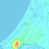
La Paz Sand Dunes
Philippines > Ilocos Norte > Brgy. 62-B Navotas South > Laoag
Average elevation: 7 m
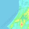
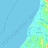

Pagudpud
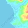
The topography includes mountains, hills, valleys, and flat coastal land. Maira-ira Beach is the northernmost tip of Luzon Island, located at 18°33′34″N 120°47′15″E / 18.55944°N 120.78750°E / 18.55944; 120.78750 on the Luzon Strait.
Average elevation: 73 m
Pagudpud
The topography includes mountains, hills, valleys, and flat coastal land. Maira-ira Beach is the northernmost tip of Luzon Island, located at 18°33′34″N 120°47′15″E / 18.55944°N 120.78750°E / 18.55944; 120.78750 on the Luzon Strait.
Average elevation: 73 m

Pagudpud
The town's topography includes mountains, hills, valleys and flat coastal land.
Average elevation: 73 m