
Port Arthur topographic map
Interactive map
Click on the map to display elevation.
About this map
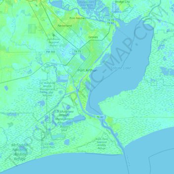
Name: Port Arthur topographic map, elevation, terrain.
Location: Port Arthur, Jefferson County, Texas, United States (29.64113 -94.10660 30.03235 -93.81180)
Average elevation: 2 m
Minimum elevation: -5 m
Maximum elevation: 12 m