
Lac Ferguson topographic map
Interactive map
Click on the map to display elevation.
About this map
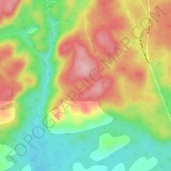
Name: Lac Ferguson topographic map, elevation, terrain.
Average elevation: 153 m
Minimum elevation: 66 m
Maximum elevation: 247 m
Other topographic maps
Click on a map to view its topography, its elevation and its terrain.
Lac Provencher
Canada > Québec > Baie-Comeau
Lac Provencher, Avenue Parent, Baie-Comeau, Manicouagan, Côte-Nord, Québec, G4Z 2K2, Canada
Average elevation: 48 m