
Make a donation
Gear up for your next adventure:
As an Amazon Associate, this site earns from qualifying purchases at no extra cost to you.
Tunkhannock topographic map
Click on the map to display elevation.
Make a donation
Gear up for your next adventure:
As an Amazon Associate, this site earns from qualifying purchases at no extra cost to you.
About this map
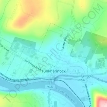
Name: Tunkhannock topographic map, elevation, terrain.
Average elevation: 233 m
Minimum elevation: 176 m
Maximum elevation: 415 m
Make a donation
Gear up for your next adventure:
As an Amazon Associate, this site earns from qualifying purchases at no extra cost to you.
Other topographic maps
Click on a map to view its topography, its elevation and its terrain.
Lake Carey
United States > Pennsylvania > Wyoming County > Lemon Township > Lemon > Lake Carey
Average elevation: 323 m
Bardwell
United States > Pennsylvania > Wyoming County > Tunkhannock Township
Average elevation: 297 m
Make a donation
Gear up for your next adventure:
As an Amazon Associate, this site earns from qualifying purchases at no extra cost to you.
Lake Sheridan Hill
United States > Pennsylvania > Wyoming County > Nicholson Township
Average elevation: 338 m
Center Moreland
United States > Pennsylvania > Wyoming County > Northmoreland Township
Average elevation: 374 m
Blue Ridge Mountain
United States > Pennsylvania > Wyoming County > Meshoppen Township
Average elevation: 261 m
Make a donation
Gear up for your next adventure:
As an Amazon Associate, this site earns from qualifying purchases at no extra cost to you.