
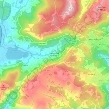
San Román de Doniños topographic map
Interactive map
Click on the map to display elevation.
About this map
Name: San Román de Doniños topographic map, elevation, terrain.
Average elevation: 143 m
Minimum elevation: -1 m
Maximum elevation: 291 m
Other topographic maps
Click on a map to view its topography, its elevation and its terrain.
San Felipe
Espagne > Galice > Ferrol > Ferrol > San Felipe
San Felipe, Brión, Ferrol, A Corogne, Galice, 15591, Espagne
Average elevation: 92 m