
Krungl topographic map
Interactive map
Click on the map to display elevation.
About this map
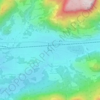
Name: Krungl topographic map, elevation, terrain.
Average elevation: 947 m
Minimum elevation: 789 m
Maximum elevation: 1,507 m
Other topographic maps
Click on a map to view its topography, its elevation and its terrain.
Tauplitzalm
Österreich > Steiermark > Bezirk Liezen > Bad Mitterndorf
Tauplitzalm, Bad Mitterndorf, Bezirk Liezen, Steiermark, 8983, Österreich
Average elevation: 1,559 m