
Camp Diable topographic map
Interactive map
Click on the map to display elevation.
About this map
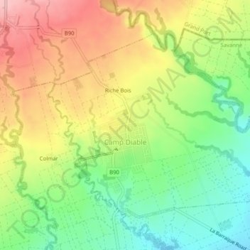
Name: Camp Diable topographic map, elevation, terrain.
Location: Camp Diable, Savanne, Mauritius (-20.47799 57.57361 -20.45082 57.61303)
Average elevation: 170 m
Minimum elevation: 94 m
Maximum elevation: 256 m
Other topographic maps
Click on a map to view its topography, its elevation and its terrain.