
Wesepe topographic map
Interactive map
Click on the map to display elevation.
About this map
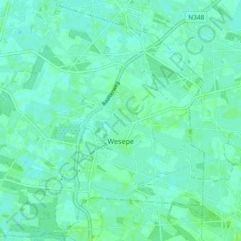
Name: Wesepe topographic map, elevation, terrain.
Location: Wesepe, Olst-Wijhe, Overijssel, Netherlands (52.31476 6.17249 52.35228 6.23584)
Average elevation: 5 m
Minimum elevation: 2 m
Maximum elevation: 9 m
Other topographic maps
Click on a map to view its topography, its elevation and its terrain.