
Vryburg topographic map
Interactive map
Click on the map to display elevation.
About this map
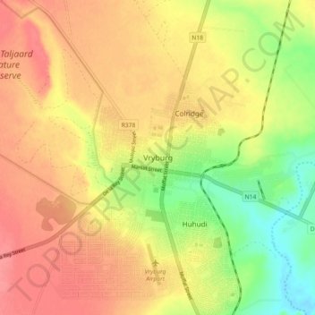
Name: Vryburg topographic map, elevation, terrain.
Average elevation: 1,205 m
Minimum elevation: 1,163 m
Maximum elevation: 1,235 m
Vryburg liegt auf einer Höhe von 1234 Metern über dem Meeresspiegel.