
Voort topographic map
Interactive map
Click on the map to display elevation.
About this map
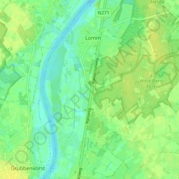
Name: Voort topographic map, elevation, terrain.
Location: Voort, Velden, Venlo, Limburg, Nederland, 5941 NM, Nederland (51.41710 6.15068 51.45710 6.19068)
Average elevation: 21 m
Minimum elevation: 12 m
Maximum elevation: 28 m