
Pointe A La Hache Relief Outlet topographic map
Interactive map
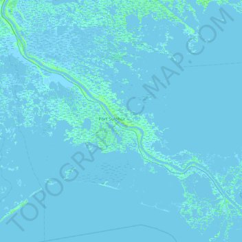
Click on the map to display elevation.
About this map
Name: Pointe A La Hache Relief Outlet topographic map, elevation, terrain.
Average elevation: 0 m
Minimum elevation: -6 m
Maximum elevation: 17 m