
Miami County topographic map
Interactive map
Click on the map to display elevation.
About this map
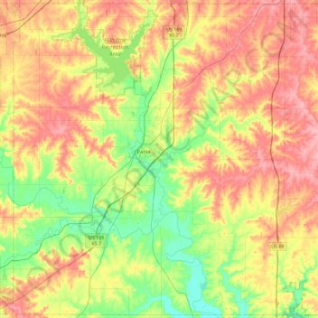
Name: Miami County topographic map, elevation, terrain.
Location: Miami County, Kansas, USA (38.38879 -95.06590 38.73858 -94.60951)
Average elevation: 297 m
Minimum elevation: 246 m
Maximum elevation: 352 m
Other topographic maps
Click on a map to view its topography, its elevation and its terrain.
Independence
USA > Kansas > Independence
Independence, Montgomery County, Kansas, 67301, USA
Average elevation: 245 m